Between two dates, uncover possible tracks and signs of activity.
MTC — Multi Temporal Coherence — combines advanced Sentinel-1 radar processing with automated detection. Select an area and two dates: the software highlights possible tracks, changes and radar anomalies that may indicate activity in the interval.
Advanced radar methods. An analysis your teams control.
MTC puts advances in multi-temporal radar imaging to work: precise image alignment, interferometric coherence, the MTC composite and multi-scale detection of linear features. Comparing radar signals at two dates brings out changes that are difficult to discern in a single image.
Processing, review and outputs stay in your teams’ local Windows environment. MTC uses Copernicus data, checks the quality of the radar pair and records source provenance. Your analysts retain control over what is observed, inferred and reported.
An area. Two dates. Evidence to investigate.
Select an area
Define the territory or site to investigate. MTC searches for suitable Sentinel-1 radar acquisitions.
Select two dates
Choose a compatible radar image pair that frames the period you want to examine.
Investigate the changes
MTC highlights possible tracks, breaks in radar coherence and other changes. Analysts assess the evidence and document their findings.
Find a possible track. Assess whether it may have been used.
In desert terrain, a track may be hard to see in optical imagery. MTC searches the radar maps for possible linear routes, then compares their coherence with the surrounding ground between the two selected acquisitions.
A local loss of coherence or another temporal anomaly can make a track worth investigating as potentially used during that interval. MTC surfaces and locates these signs; the analyst checks competing explanations before assessing activity.
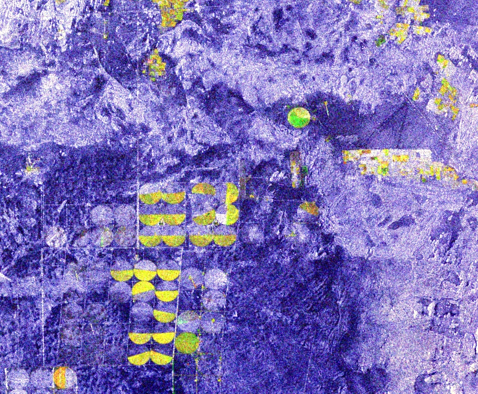
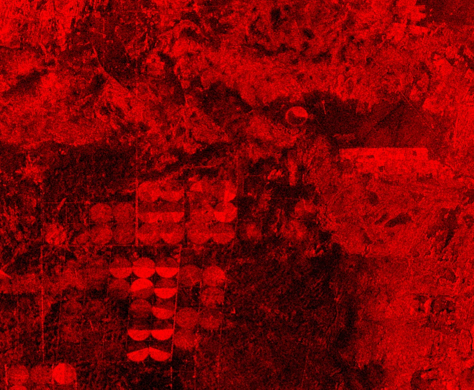
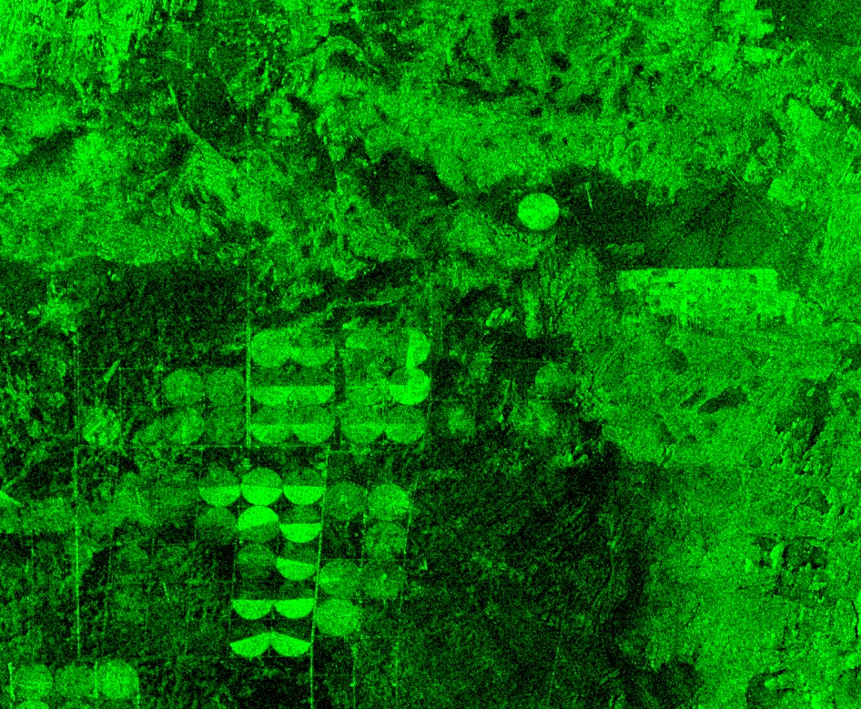
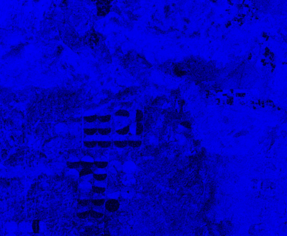
Three radar measurements. One image to focus the analysis.
The composite combines two radar amplitudes and coherence on the same grid. Colour draws attention to differences; it does not identify their cause.
Spot a sector, then investigate it.
In this real Egyptian agricultural scene, several plots differ from their surroundings. The view helps the analyst identify which areas deserve a closer look with other layers or a higher-resolution sensor.
An indicator is not a conclusion.
MTC brings possible tracks and temporal inconsistencies to the analyst’s attention. These may be consistent with movement or a change in land use, but wind, moisture, vegetation and terrain can produce similar signals. A single radar comparison cannot establish the cause on its own.
The software keeps candidate detections, analyst annotations and source provenance distinct, so a review dossier can state what was observed, what remains a hypothesis and what should be checked next.
Turn the software into an operational skill.
Training can accompany MTC deployment so your teams can use the software independently in their own missions. It covers selecting an area and radar dates, reading coherence and MTC maps, and reviewing possible tracks and signs of activity.
The aim is to distinguish an observation from an interpretation, document uncertainty and produce a geolocated assessment that can be used and reviewed. Content and format are defined with you according to your team’s needs.
Ask about MTC training →Build your own satellite-analysis capability.
Tell us about your mission and the areas you need to assess. We can demonstrate MTC and discuss training tailored to your teams.